Block & land surveys
Buying, building or subdividing? Get boundaries, levels, contours and a scaled site plan before the excavator turns up.
Contours · levels · site plan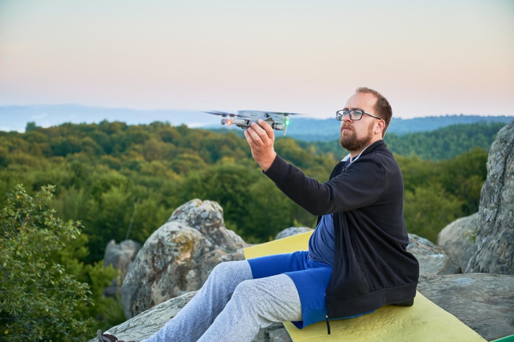
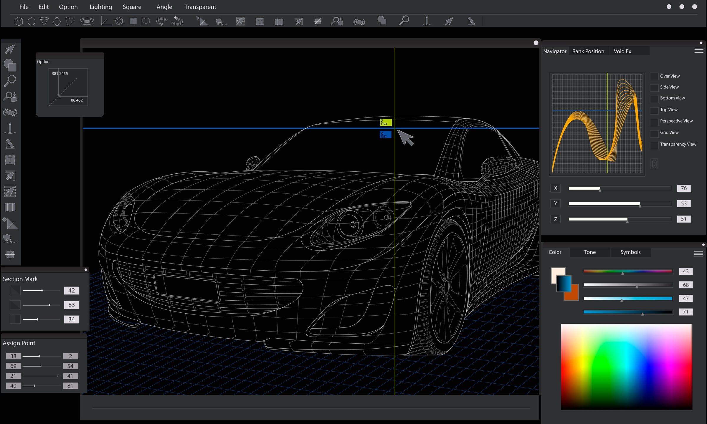
We fly your property, then turn the photos into a measurable map and 3D terrain model. Perfect for a build, a subdivision, a roof you can't get to, or a paddock you want on paper. CASA-licensed, fully insured, anywhere in Melbourne.
Every job is the same method — a grid of overlapping photos flown at a set height, rebuilt into one accurate model. What changes is what you need out of it.
Buying, building or subdividing? Get boundaries, levels, contours and a scaled site plan before the excavator turns up.
Contours · levels · site planCracked tiles, blocked gutters, storm damage for an insurance claim. Close-up stills and a full roof model, nobody up a ladder.
Photo report · roof areasFences, dams, tracks, drainage and tree cover across bigger holdings — mapped in one flight and measurable afterwards.
Orthomosaic · areas · volumesA flight a month through your reno or new build. Same angles every time, so you can see exactly what changed and when.
Repeat flights · timeline setPlain files that open on any computer, plus the technical formats your builder, architect or surveyor will ask for. We'll walk you through them on a call if you'd like.
We check the airspace, weather window and whether any approvals are needed, then quote a fixed price. No charge for the check.
Usually 30–60 minutes on the ground. You don't need to be there, and the neighbours barely notice.
Hundreds of frames are matched, scaled against ground control points and checked for accuracy before anything is sent.
Everything arrives as a download link, with a short call to show you how to measure things yourself.
Every flight is tied to ground control points, so the model isn't just a nice picture — it holds its dimensions. Typical accuracy is ±2 cm horizontally on a suburban block, and we send the check report with the files.
Standard call-out covers everything inside the ring — and we regularly head out to the Peninsula, the Ranges and the Bellarine. Outside that, we'll quote travel up front.
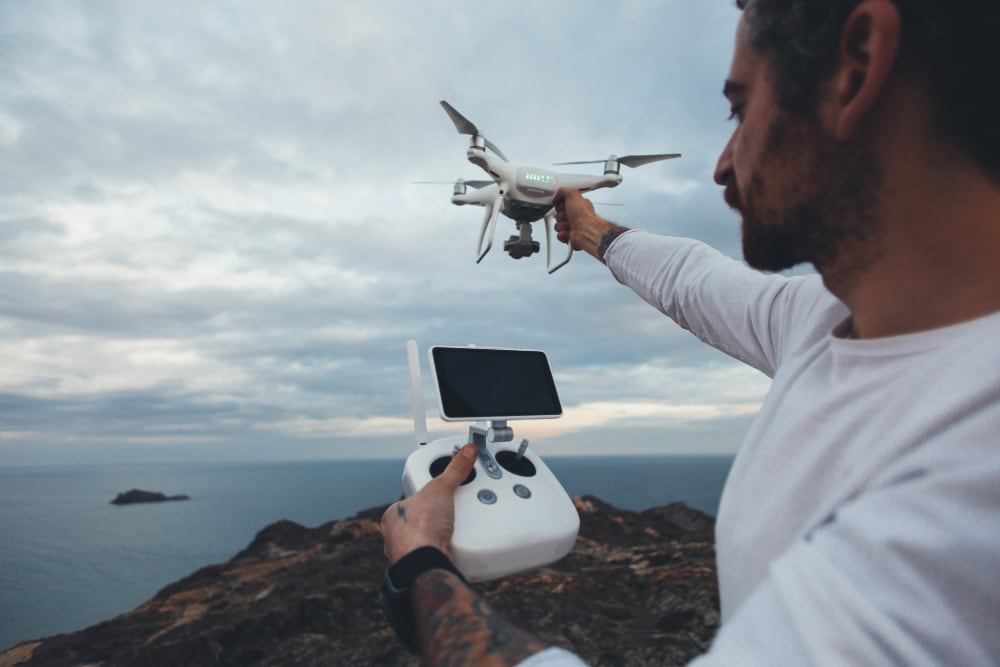
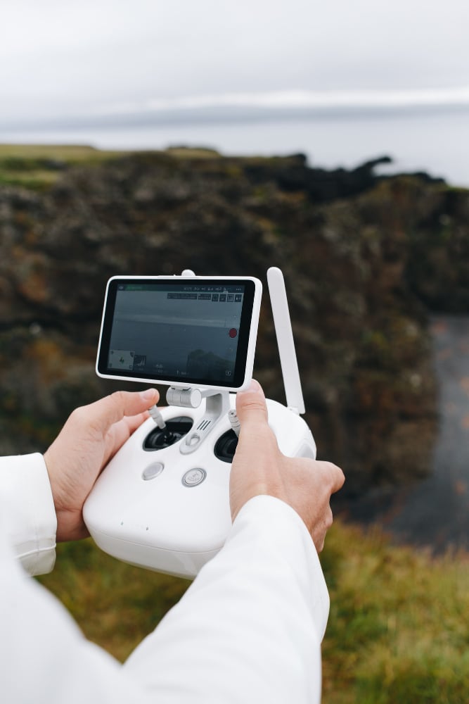
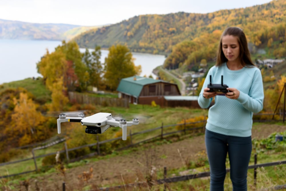
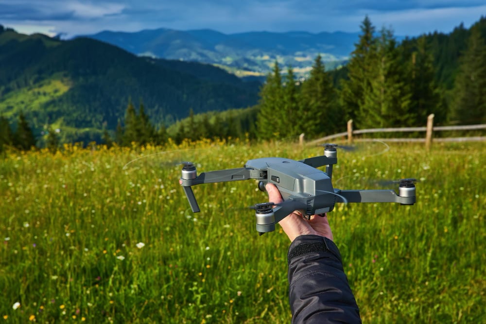
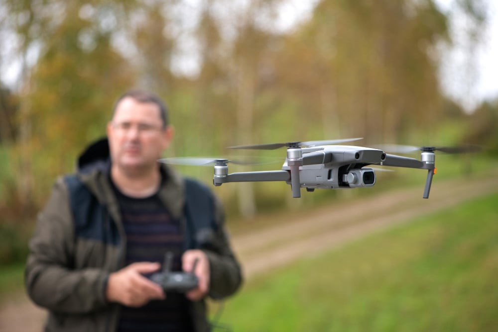
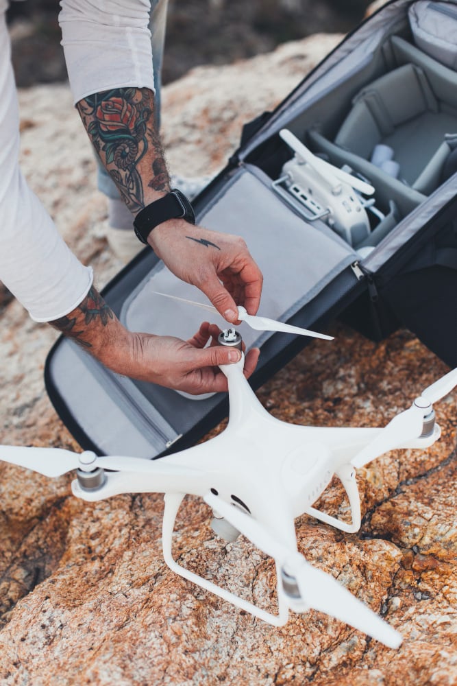
Small aircraft, quiet, in and out in under an hour. Here's what a flight actually looks like.
For most residential blocks, no. We hold the operator certificate and handle any airspace authorisation ourselves — that includes flights near Essendon, Moorabbin and Tullamarine.
Fixed price per job, quoted after we look at the address. A standard suburban block with full deliverables sits at the lower end; acreage and repeat flights are quoted separately.
It's Melbourne, so we keep a backup day on every booking. Light cloud is actually ideal — hard shadows are the enemy, not grey skies.
Not for a legal boundary re-establishment. For everything else — planning, design, quoting, records and claims — it gives your surveyor or architect a head start and saves them hours.
Only if the drone needs access behind a locked gate. Otherwise we let you know when we're on site and send a text when we're done.
Send the address and what you're trying to work out. You'll get an airspace check and a fixed quote back the same day, usually within a couple of hours.